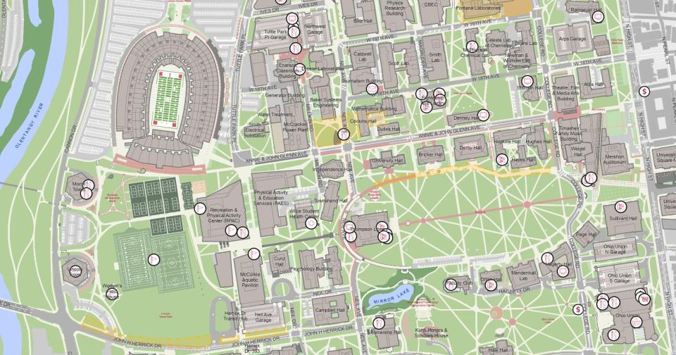
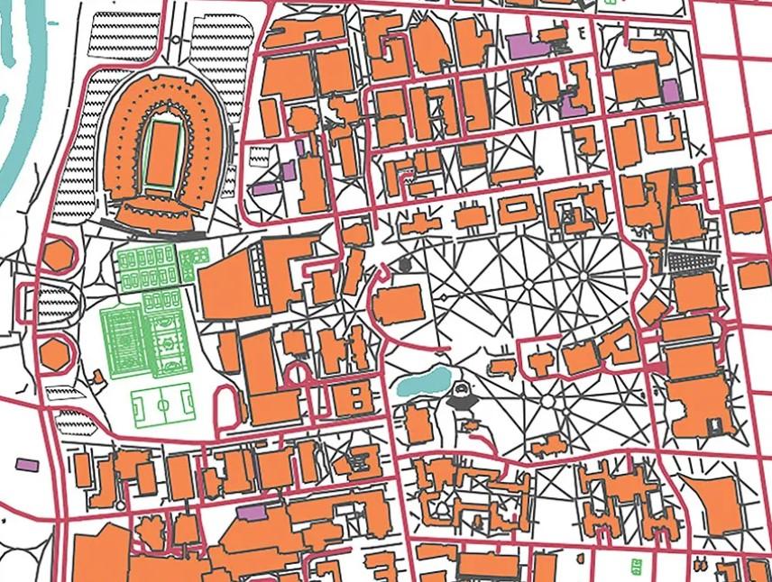
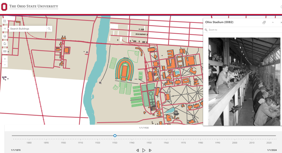
News

  • Buckeye Wellness Innovator (BWI) Spotlight: Meet Sean Moodie

    As a buckeye wellness innovator (BWI) and senior architectural systems analyst for Facilities Information and Technology Services (FITS), Sean Moodie enjoys helping to create awareness of health, wellness and employee benefits among his coworkers.
    Headshot of Sean Moodie
  • Now Hiring Multiple Student Positions for Summer

    Are you interested in architectural services, building information modeling (BIM), geographic information systems (GIS) or data analytics and reporting? Facilities Information and Technology Services (FITS) is now hiring multiple student positions for summer semester. We’ll provide you training! Enjoy hands on experience, a flexible work environment and a fun team atmosphere.Apply online for the ...
    Person working on laptop with architectural rendering.
  • FITS GIS Analyst Brings More Than 150 Years of Ohio State History to Life

    If you could rewind time and witness every transformation The Ohio State University’s campus has undergone since its founding in 1870, would you? Thanks to the relentless efforts of Aaron Kidwell, senior geographic information system (GIS) analyst for Facilities Information and Technology Services (FITS), this vision has become a reality. During the past five years, Kidwell has poured his heart i...
    A screenshot of the historic map with Ohio Stadium pulled up.
  • 360-Degree Facility Photos Available through SIMS

    Facilities Information and Technology Services (FITS) provides faculty and staff free access to the Space Information and Management System (SIMS), a tool that allows users to view 360-degree facility photos for all Ohio State campuses. More than 33,000 space-related photos, including room layouts, are available in SIMS. Approximately 1,000 new 360 photos are added to the system each mo...
    multiple seating options inside large room
  • A Mapping Marvel

    Held annually on Ohio State’s Columbus campus, GIS Day provides an opportunity for students, faculty, staff and the broader university community to learn about geographic information systems (GIS) and the creative ways geospatial data can be used to help solve real-world problems. This year, representatives from Facilities Information and Technology Services (FITS), Facilities Operations and...
    woman sitting between two screens an presenting about mapping