Building Information Modeling (BIM) is a process utilizing tools and technology to digitally represent the physical and functional characteristics of a facility that can be utilized throughout the lifecycle of a building.
The Buckeye BIM Initiative is composed of three parts: BIM for Existing Buildings, BIM for Design and Construction, and BIM for Planning, Operations & Data Analysis.

BIM for Existing Buildings
BIM for Existing Buildings ensures architectural models for constructed buildings adhere to internal BIM standards. These architectural models provide a 3D representation of our buildings that include interior and exterior information utilizing Autodesk’s Revit Software. This portion of the initiative includes:
- Transitioning existing AutoCAD models (2D) into Revit models (3D), or CAD to BIM (C2B)
- Developing new models for buildings with no existing drawings, or None to BIM (N2B)
- Integrating BIM from existing projects into Ohio State’s standardized Owner Models, or BIM to BIM (B2B)
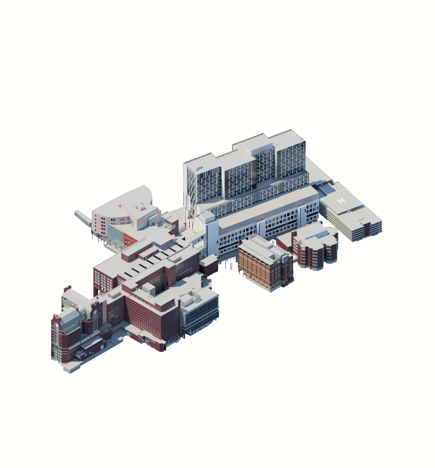
The university utilizes these architectural models to support early design planning, space planning, donor recognition, the operations of the university, and other uses. The Buckeye BIM Initiative has placed Ohio State as a national leader in the use of BIM completing the transition to BIM for all applicable campus buildings in 2025 with over 42 million gross square feet modeled in Revit.
BIM for Design and Construction
BIM for Design and Construction sets the standards for how projects will be delivered to the university. These standards ensure continuity for the project and provide the university with the desired data and format for the required BIM deliverables.
The Ohio State University’s Building Information Modeling Project Delivery Standard (BIM PDS) is a reference guide for project teams to understand what relevant 3D geometry and data shall be included in their models and delivered at key milestones throughout the project. Project teams working on BIM-enabled university projects are responsible for documenting the processes, technologies and project stakeholders that will ensure adherence to this BIM PDS.
All documentation for Ohio State’s BIM PDS can be found on the Facilities Operations and Development (FOD) Resources page under the Design Guidelines, Specifications, Standards section and the related documentation is located under the Building Information Modeling (BIM) sub section.
This standard encompasses the development of the following key BIM Project Deliverables:
- BIM Execution Plan
- Asset Tagging & LOD Matrix of BIM Deliverables
- Asset Tagging & LOD Matrix of BIM Deliverables – Wexner Medical Center Projects
- Asset Worksheet
- Conformed Design Intent Models
In addition, Ohio State has released a set of tools to aid project teams in meeting the expectations of the BIM Project Delivery Standard.
BIM for Planning, Operations & Data Analysis
BIM is utilized across the university in a wide variety of ways. It supports the planning efforts by providing accurate space data and floor plan layouts and providing 3D models to aid in early design planning, especially by our student staffed design studio and by interior designers performing furniture and equipment layouts. The university is continuing our effort to integrate our models and data into the variety of systems across the enterprise to improve the overall operations of the university. Our focus is getting the information into the right hands to improve the quality and speed of decision making. We are also expanding our ability to extract data from the models to drive broad based decisions about our buildings, especially now that all of our buildings have been modeled.
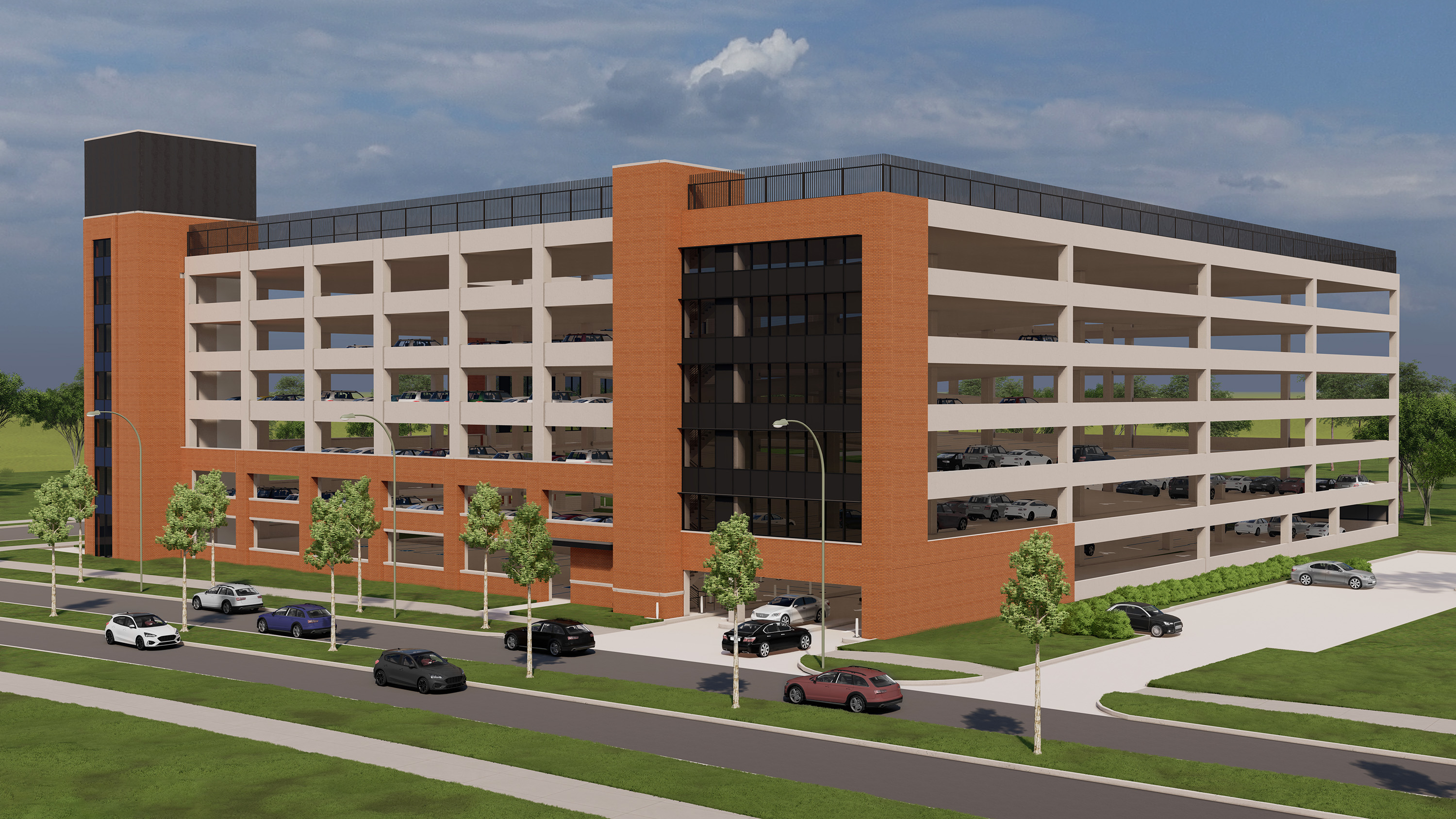
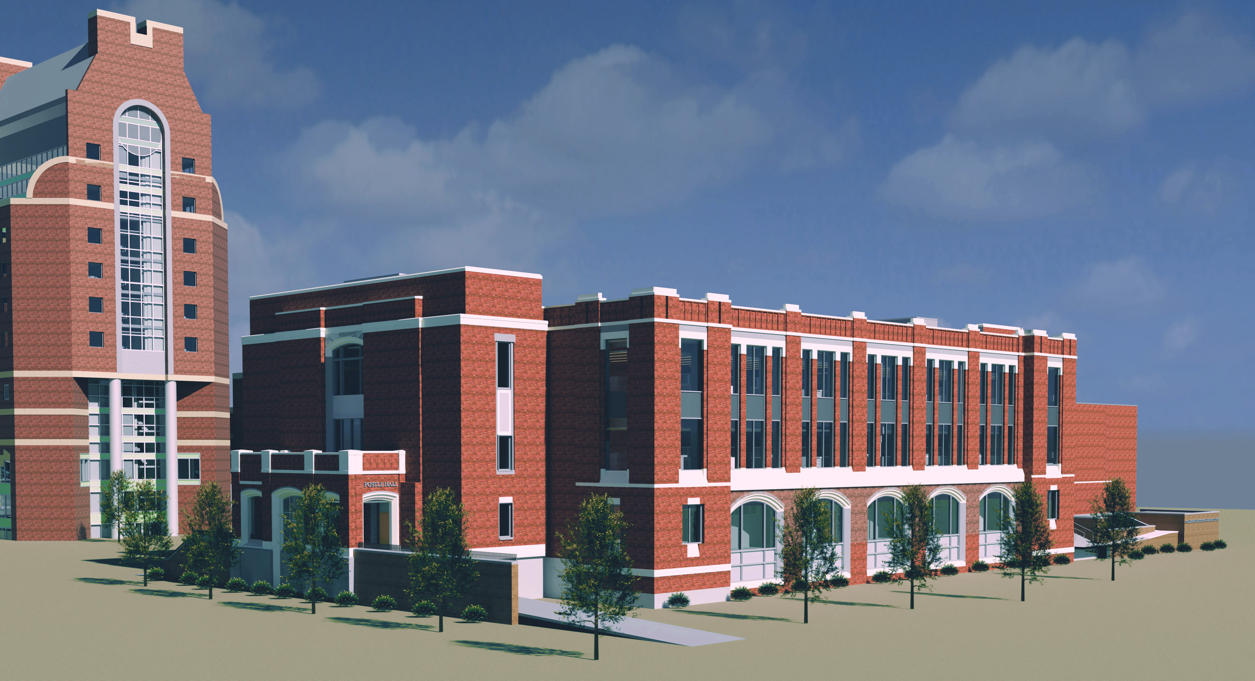
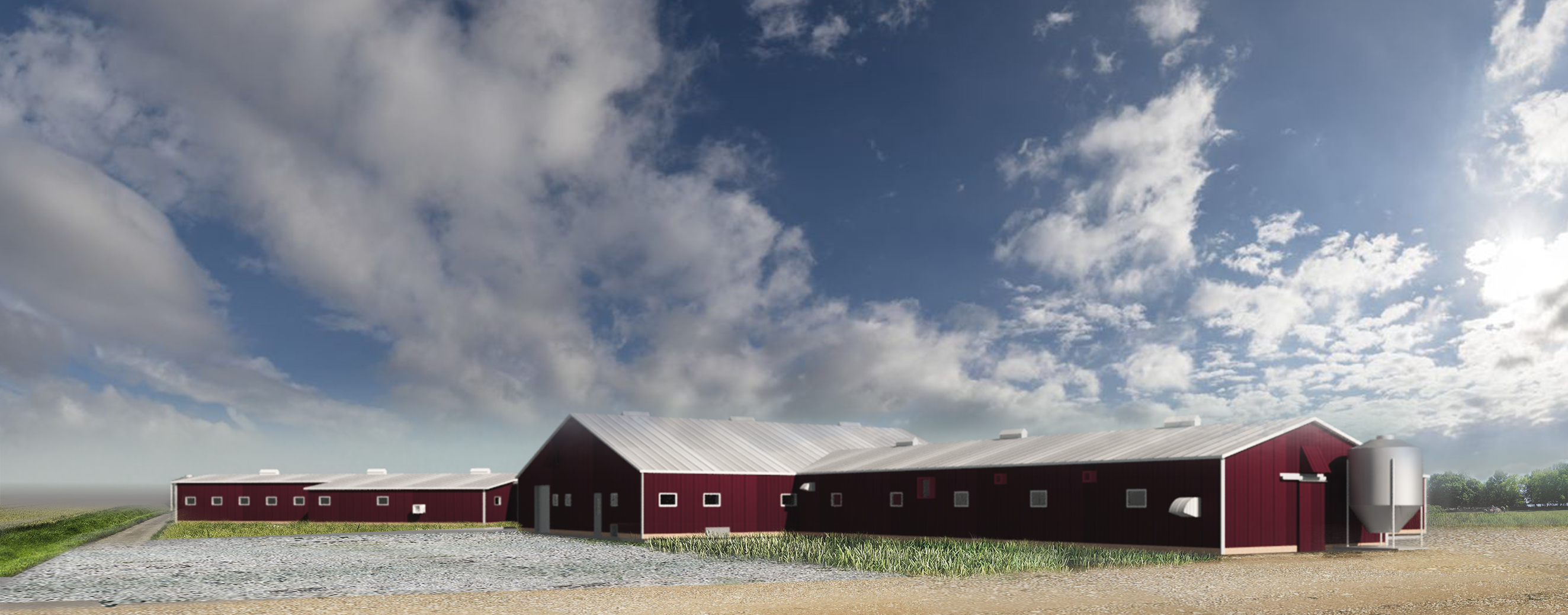
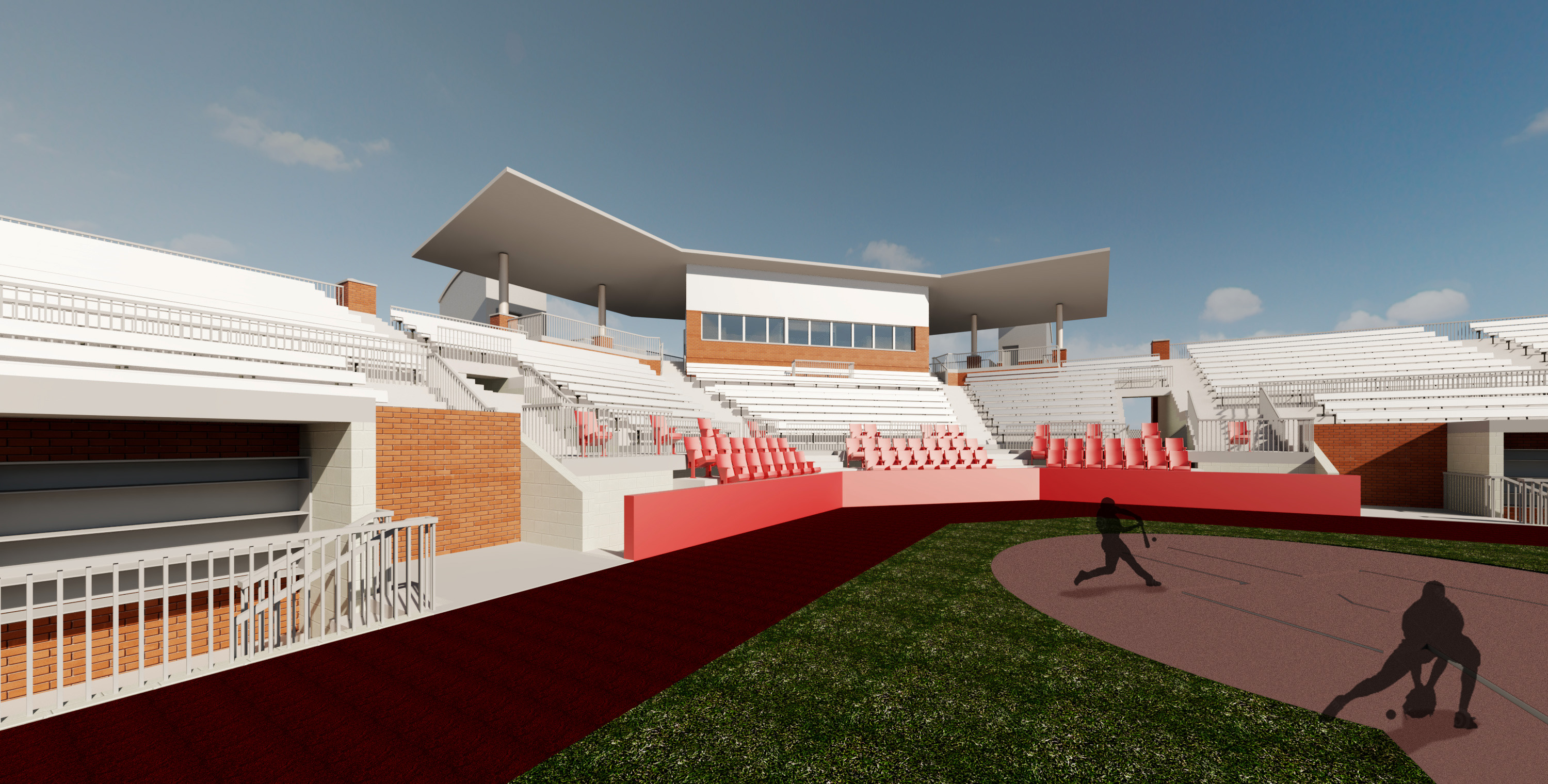
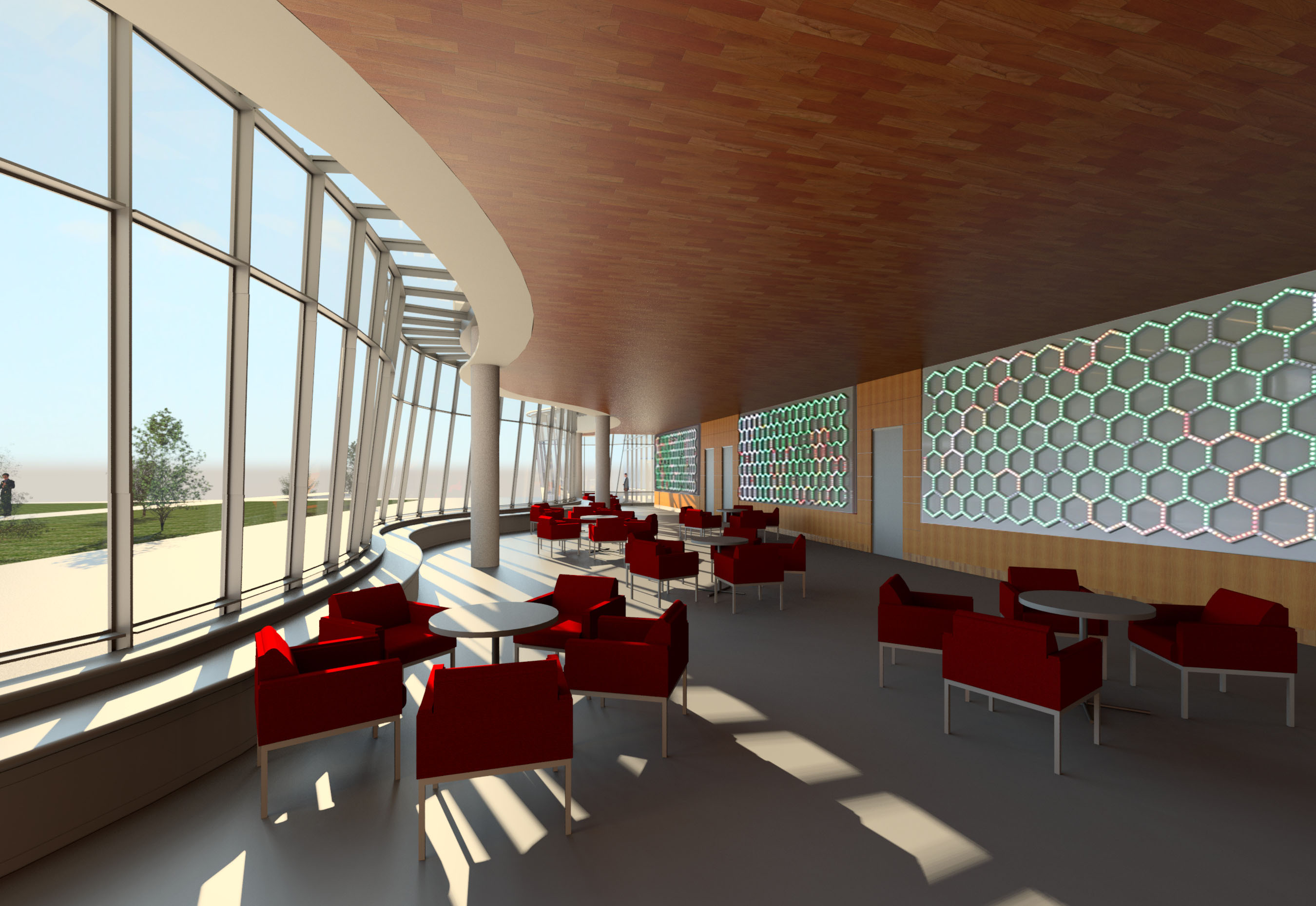
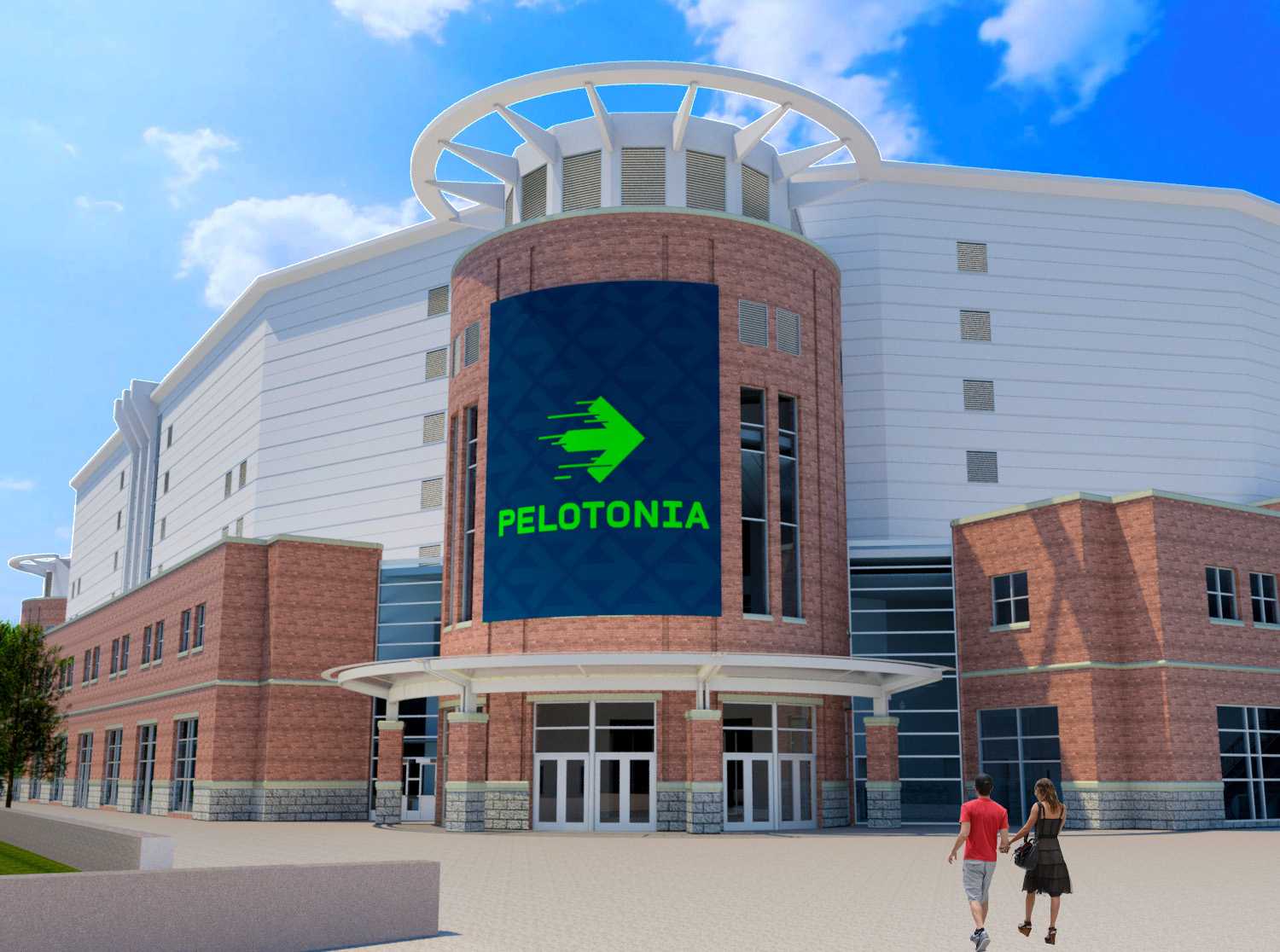
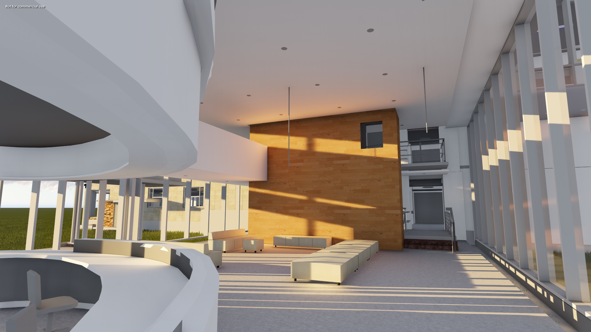
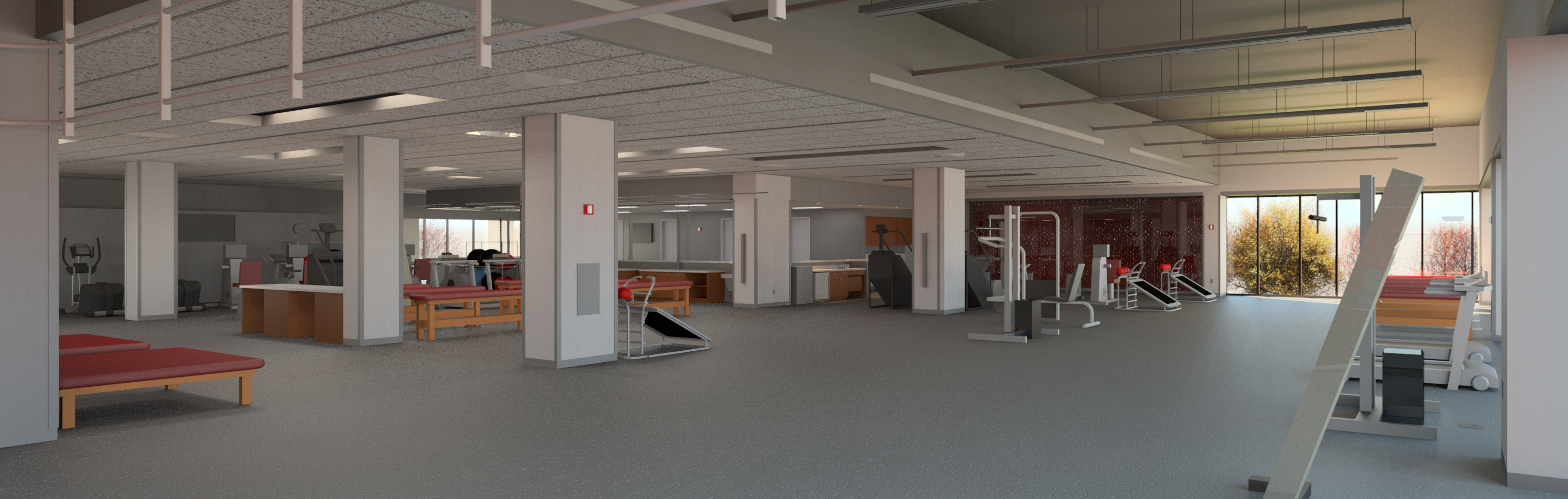
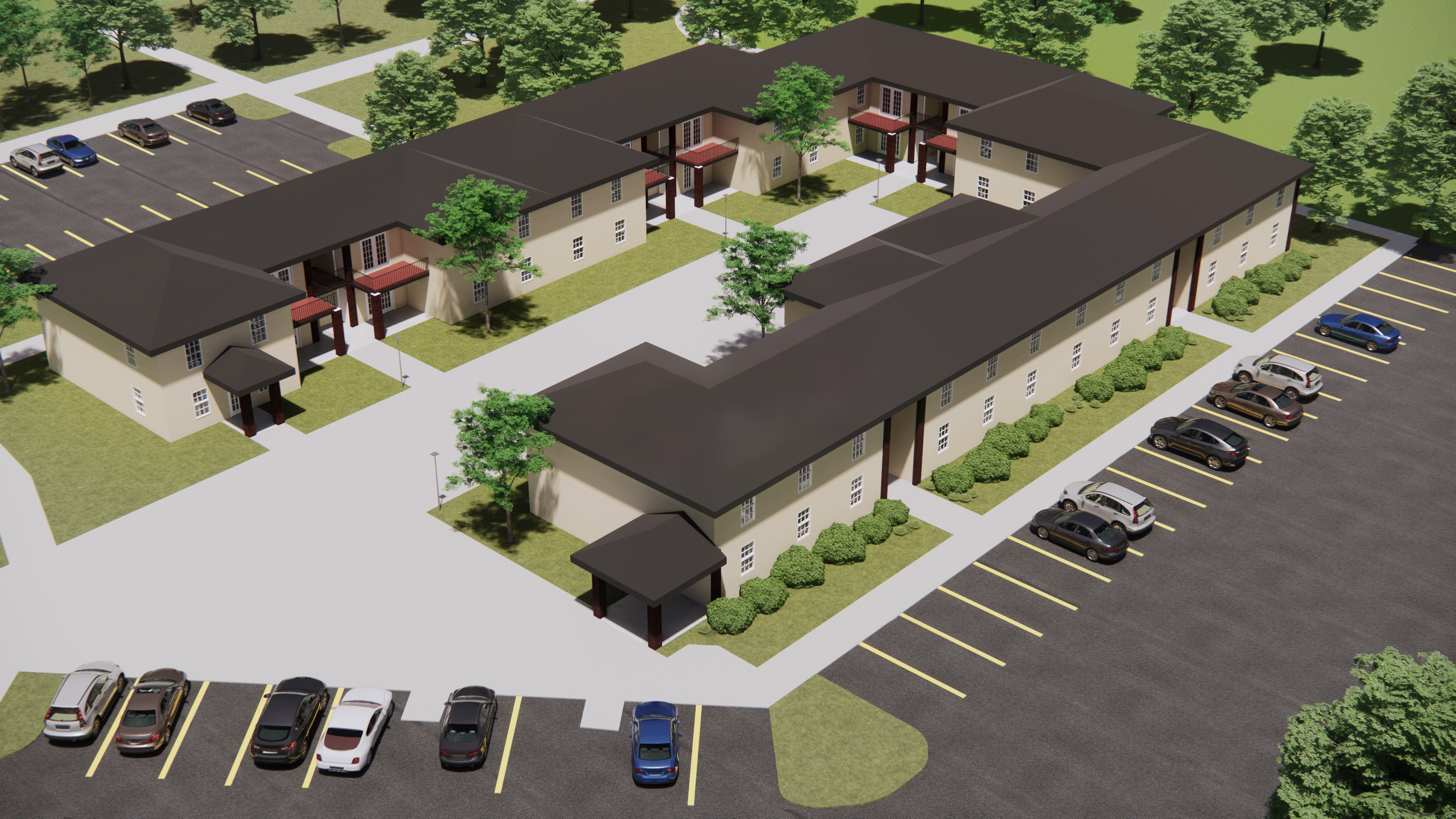
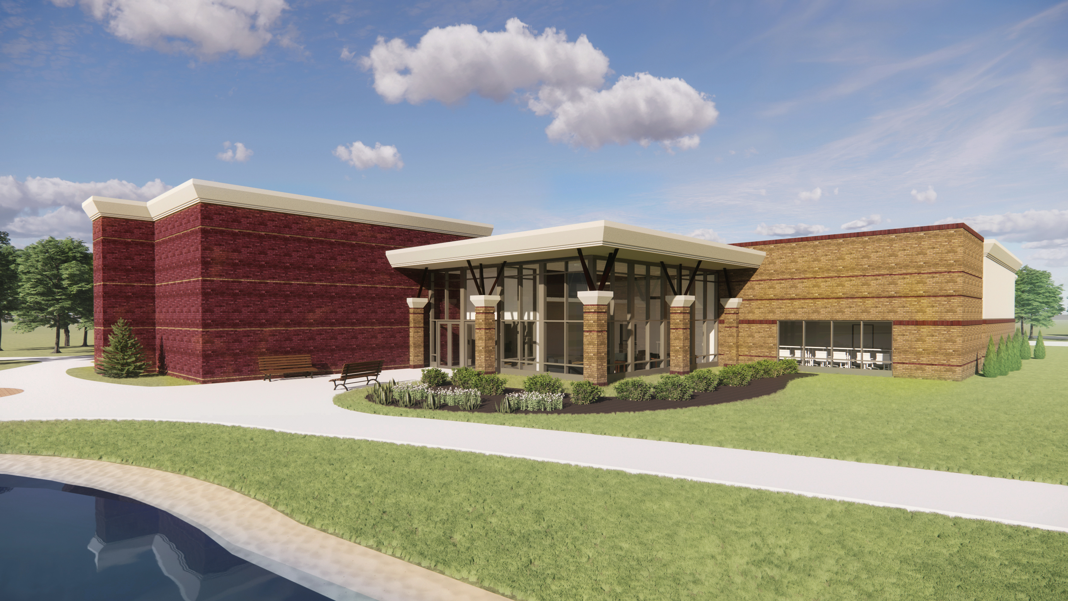
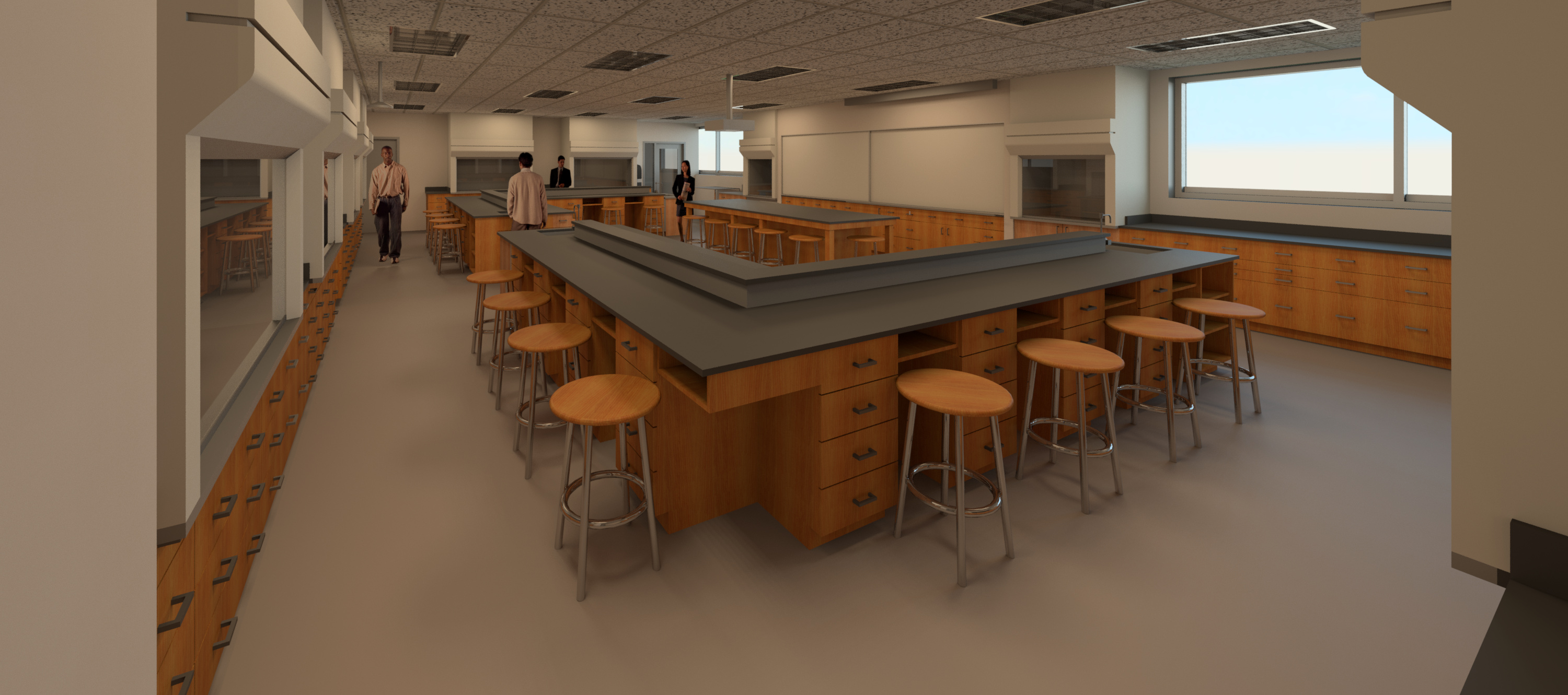
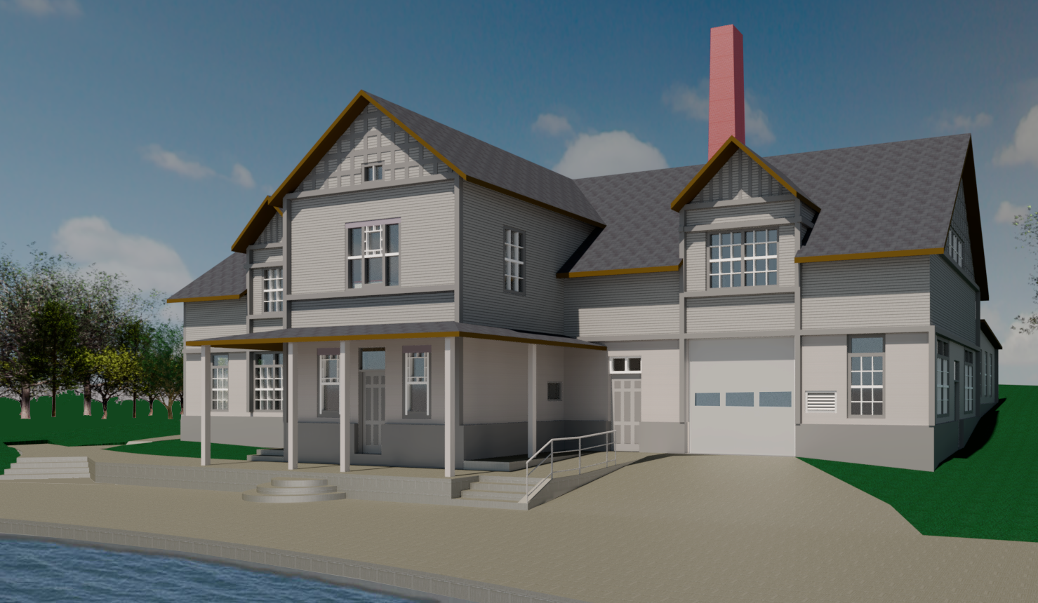
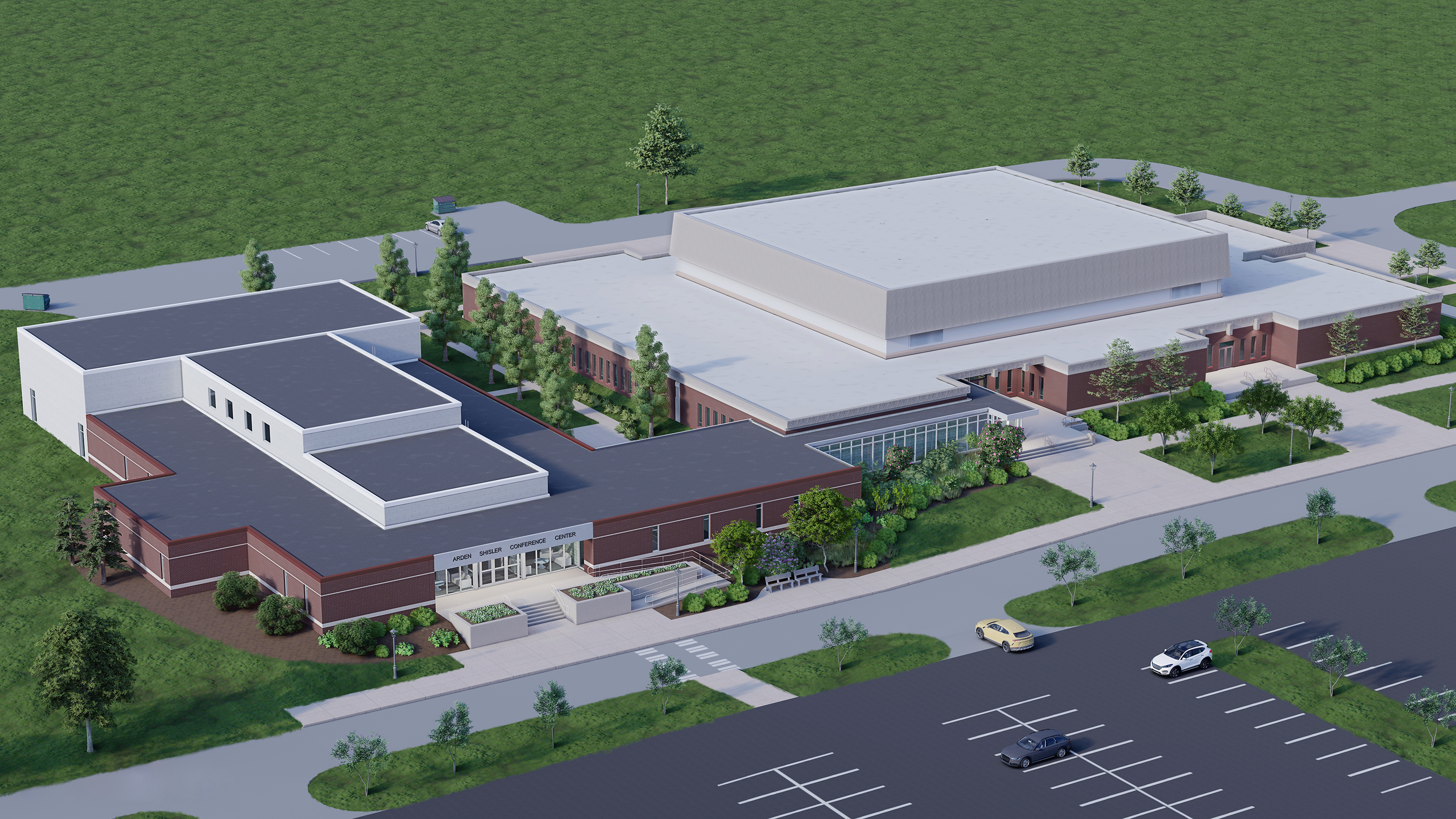
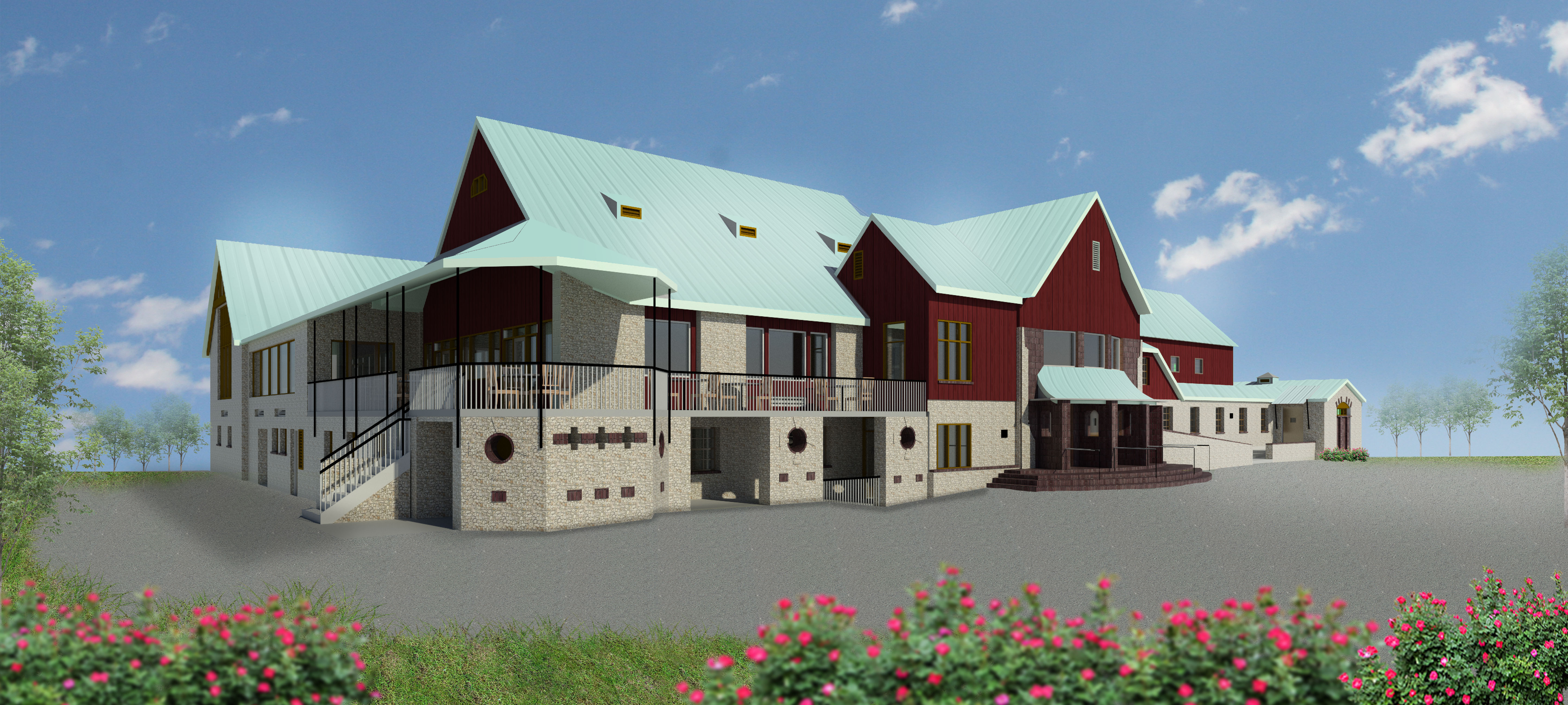
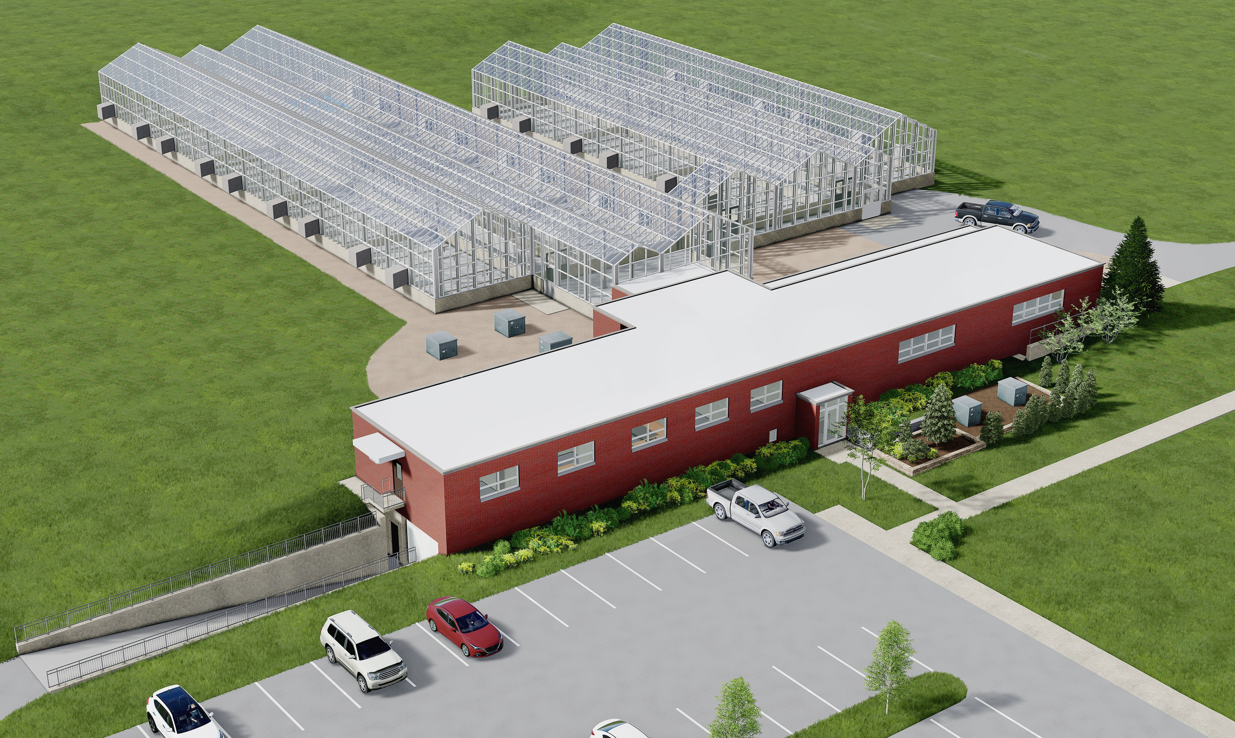
BIM Renderings


Submit a New FITS Request
FITS is here to assist the university community with your facility and spatial data needs. If you are in need of assistance regarding one of our systems or the data we manage, please submit a FITS Request using the FITS request link