Strengthen your professional skills at no cost by taking advantage of Facilities Information and Technology Services (FITS) complimentary virtual training sessions. Ohio State faculty and staff will learn about GIS, Building Information Modeling (BIM), the Space Information and Management System (SIMS), and other helpful tools.
Scroll through the session descriptions below to learn more. Registration links are provided for each session.
If you’re already sold, access the Training Opportunities page to immediately begin registering for your online session of interest.
Miss a session or don’t want to wait? Scroll down a little more on the Past Training Materials section of the "Training Opportunities" page and access previously recorded sessions at your convenience.
Part 1: FITS System Overview Training - March 25, 2026
Get a guided tour overview session covering the different teams, services, and applications within Facilities Information and Technology Services (FITS).
Architectural Services - Learn how to access Ohio State’s architectural models, floor plans, and project archives through several convenient platforms.
Space Data - Explore the Space Information and Management System (SIMS), plus the dashboards and reports built from university-wide space data. Discussion to include Archived Projects where one can search over 200,000 record drawings and documents from completed construction projects.
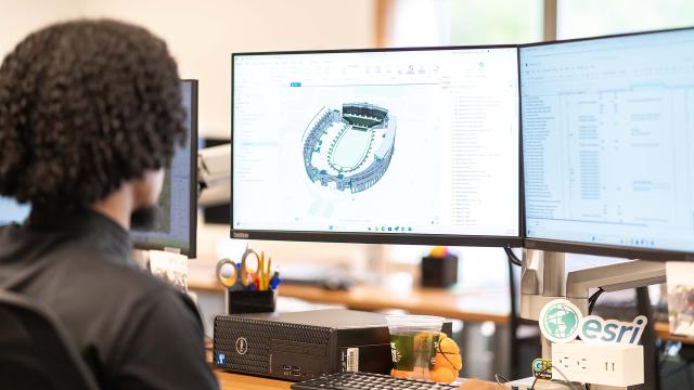
GIS Services - Discover how Ohio State’s enterprise GIS assets are captured, updated, and published—from field collection to Revit and CAD integrations to a robust library of mapping tools.
Register for FITS System Overview Training.
Part 2: SIMS and Archived Projects Training - March 26, 2026
A training session covering basic functionality and processes for Ohio State’s Space Information and Management System (SIMS) and Archived Projects.
- SIMS Contains data for more than 44 million gross square feet of university space.
- Archived Projects Search over 200,000 record drawings and documents from completed construction projects.
Register for SIMS and Archived Projects Training.
Part 3: Advanced SIMS Training - April 1, 2026
This training session module covers more complex processes in the Space Information and Management System (SIMS), such as custom themes and custom labels.
Register for Advanced SIMS Training.
Part 4: BIM 360 Training - April 2, 2026
Curious about 3D building models? Learn to navigate Autodesk BIM 360—no Revit license or prior experience needed.
- Access Revit models for 770+ OSU buildings
- View models in your browser or on the BIM 360 mobile app
- Discover what data is available to support planning, design, and facility operations
Register for BIM 360 Training.
Part 5: GIS Maps Training - April 7, 2026
Ohio State’s GIS Maps have been fully rebuilt for the first time in a decade—and this hands-on session will get you up to speed quickly.
Learn how to:
- Navigate the new interface
- Search for assets and utilities
- Turn on building assessments or floorplans
- Theme space data by cost center, function, and more
Use your laptop and follow along for the best experience.
Register for GIS Maps Training.
Part 6: Advanced GIS and Hub Training - April 14, 2026
Need more than just Geographic Information System (GIS) Maps? This session spotlights the ArcGIS Online Hub, where you can easily explore:
- Maps
- Apps
- Datasets
- The new 3D Campus Explorer
Great for anyone who needs deeper GIS capabilities in their work.