Official print maps for The Ohio State University are ready for download in a variety of file formats to ensure you can print or edit them with ease. If you would like to request a custom print map please Submit a New FITS Request and we will be happy to discuss how we can support you.
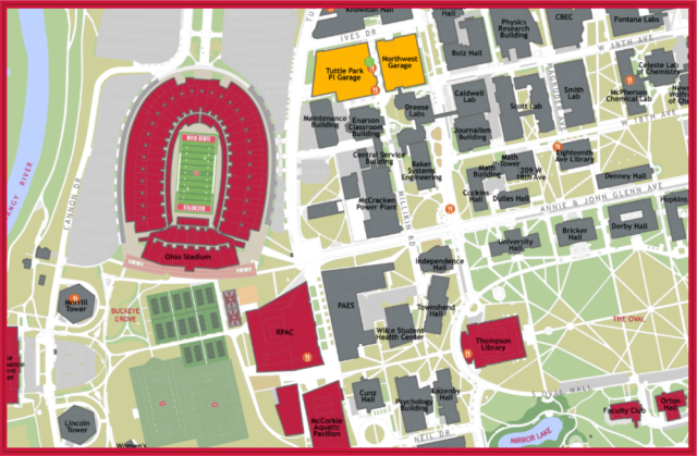
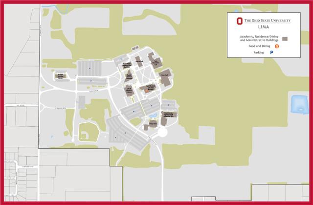
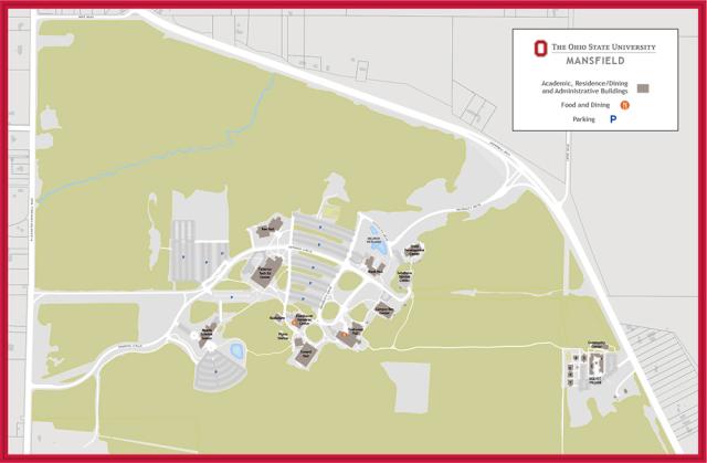
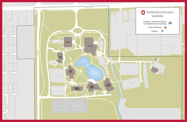
Campus Maps
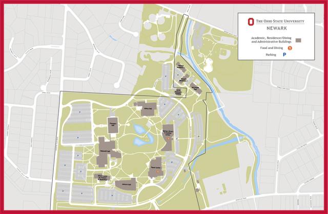
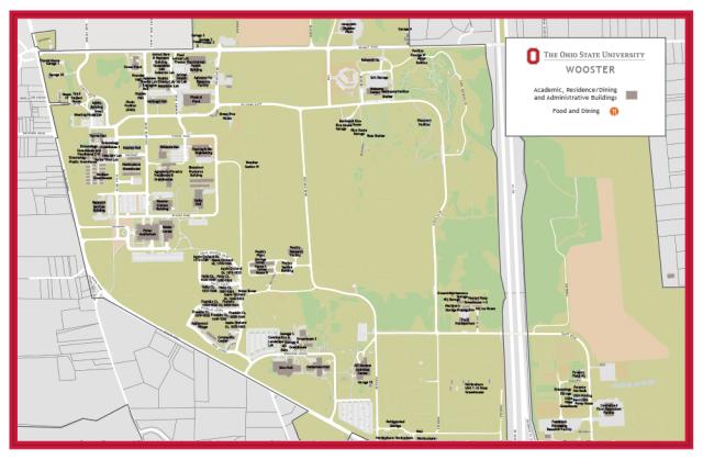
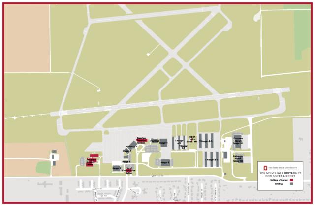
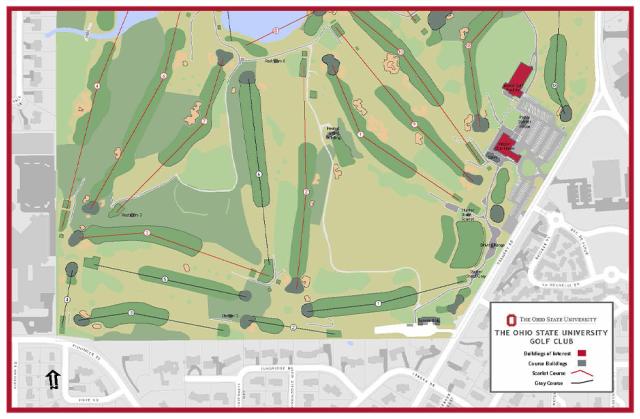
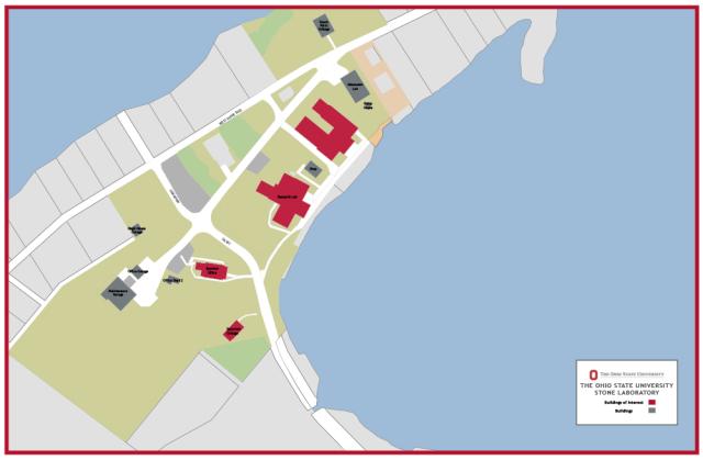
Other Sites


Submit a New FITS Request
FITS is here to assist the university community with your facility and spatial data needs. If you are in need of assistance regarding one of our systems or the data we manage, please submit a FITS Request using the FITS request link