Ohio State is in the process of revising websites and program materials to accurately reflect compliance with the law. While this work occurs, language referencing protected class status or other activities prohibited by Ohio Senate Bill 1 may still appear in some places. However, all programs and activities are being administered in compliance with federal and state law.

Main navigation

Building Data, Walking Directions, Tree Inventory, More via GIS Maps

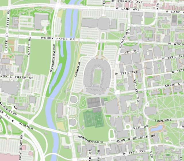
The university’s geographic information system, also known as GIS, provides a variety of mapping data for the campus community, including building information, walking directions, the campus tree inventory and more. Faculty and staff may request a login via the GIS Service Request to gain access to view building floor plans. Contact Facilities Information and Technology Services for details or if you have additional mapping needs.  

View GIS Maps