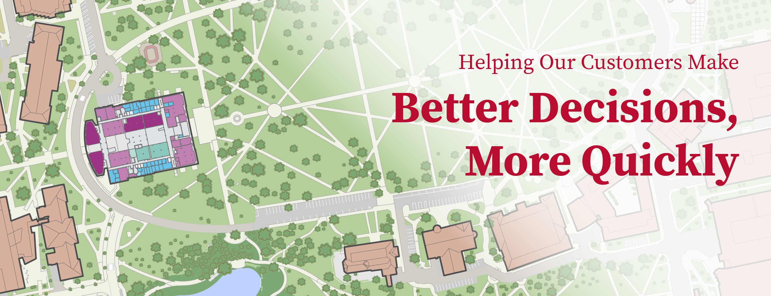
Facilities Information and Technology Services provides a highly integrated, customer focused data and technology environment for all facilities and spatially related information in order to improve the quality and speed of decision making by our customers and partners.
What We Do
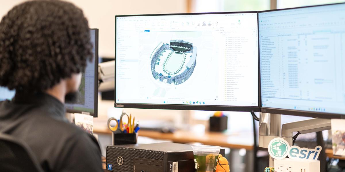
- Maintain and develop floor plans and 3D models for all university buildings
- Provide high quality space data, reporting and analysis along with timely access to record documentation through utilizing the Space Information and Management System (SIMS)
- Strategically expand the use of Building Information Modeling (BIM) for existing buildings, design and construction, planning and operations
- Expand and maintain an innovative enterprise GIS and provide high quality GIS related services and applications
- Provide room numbering for all university projects
- Provide technology management and leadership for various A&P systems and datasets, including developing integrations and dashboards for university data
News
-

FITS Presents the Annual GIS User Summit
Are you an Ohio State Geographic Information System (GIS) user ready to level up your data analysis? Join the May 19 GIS User Summit as the FITS team shares the latest tips and tricks and shows how to... -
Level Up Your Architecture, Space Data, and GIS Skills with Free Online FITS Toolset Training
Looking to sharpen your architecture, data, or GIS skills? FITS offers free virtual training sessions designed to help faculty and staff navigate Ohio State’s tools with confidence — from SIMS and... -

Open Student Positions in Architectural BIM, GIS, and Data Management at FITS
Are you a student who’s interested in architectural building information modeling (BIM), geographic information systems (GIS), or data collection and reporting? Facilities Information and Technology...

Submit a New FITS Request
FITS is here to assist the university community with your facility and spatial data needs. If you are in need of assistance regarding one of our systems or the data we manage, please submit a FITS Request using the FITS request link