FITS utilizes multiple drones that are specialized to fulfill different objectives. Drones are not one size fits all and part of our drone service is determining what tool is best used to complete the flight.
Examples of what we can provide include top-down aerials, 360° images, oblique views, and 3D points clouds. Part of our drone request process is educating users on the types of data derivatives to ensure the flight is as effective as possible. Requests should be submitted 1 month before requested flight to provide sufficient time for planning and approvals.
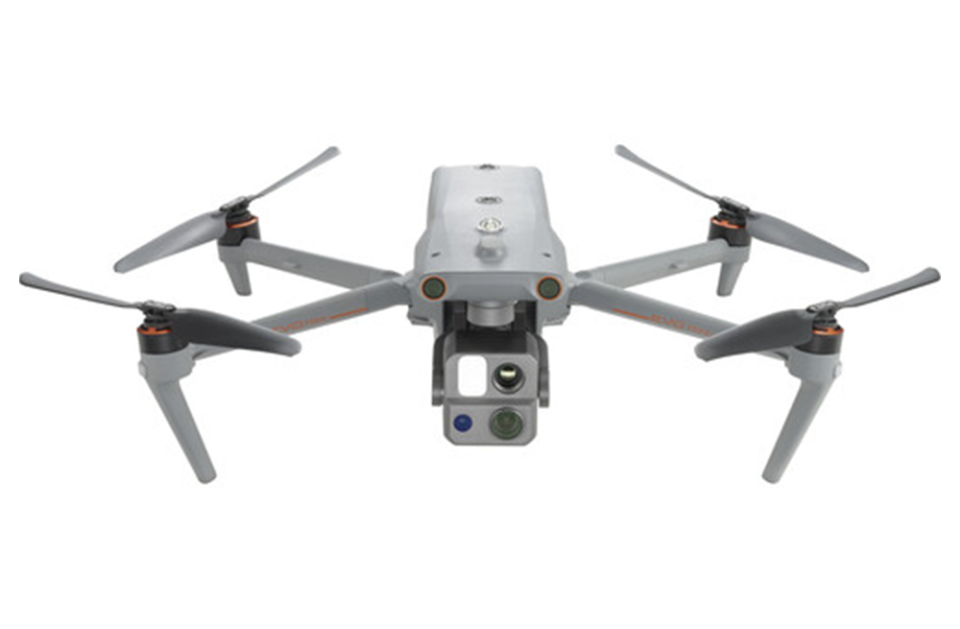
Autel Evo Max 4T
The Autel Evo Max 4T is often used for aerial mapping, inspections, photography, and video.
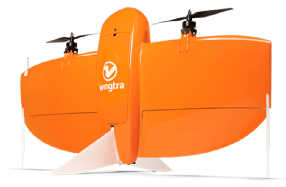
WingtraOne GEN II
The WingtraOne GEN II is our large-scale mapping drone used for campus mapping (400-acre areas per flight).
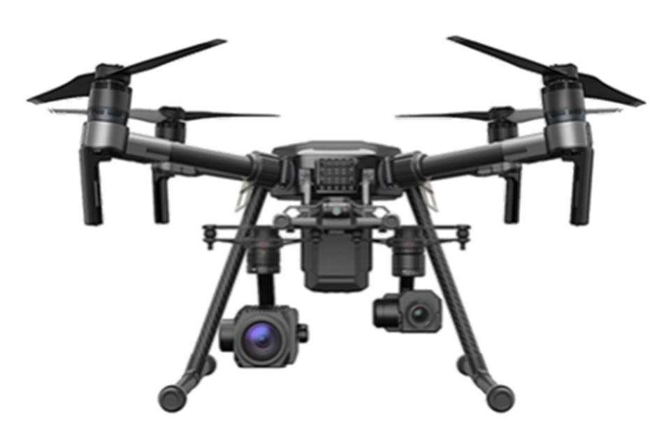
DJI Matrice 210
The DJI Matrice 210 is often used for aerial mapping (20-acre areas per flight), inspections, and photography.
Getting a Drone Program Off Ground
Andrew Neil and Aaron Kidwell present at the Campus FM Technology Association (CFTA) conference in 2021 on how our drone program began and how other universities can do the same. In this presentation they provide an overview of use cases and the benefits of utilizing drones in our work.

Submit a New FITS Request
FITS is here to assist the university community with your facility and spatial data needs. If you are in need of assistance regarding one of our systems or the data we manage, please submit a FITS Request using the FITS request link