Bringing Data to Life: How FITS User Groups Are Connecting the Ohio State Community
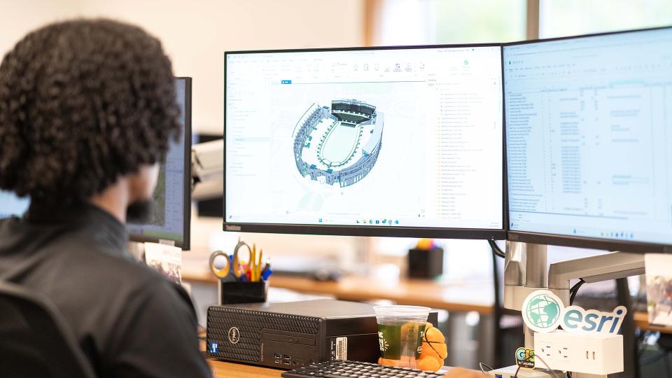
How can data help people connect, collaborate and make smarter decisions? At Ohio State, the GIS and SIMS teams within Facilities Information and Technology Services (FITS) are answering that question through engaging, user-focused events that bring campus partners together. Read more to learn what GIS Manager Larisa Kruger and SIMS Manager Heather Shade have to say about the value of these...