News

  • FITS Takes Flight

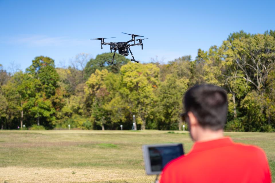
    If you’ve ever seen a drone flying across campus, it could be a Facilities Information and Technology Services (FITS) pilot collecting different types of data like RGB imagery, multispectral imagery, or LiDAR. FITS uses this data for spatiotemporal analysis, object detection and more. FITS has access to several drones to capture campus imagery in real time. While mapping is the team’s primary...
    A man wearing a red shirt is seen out of focus, flying a large black drone.
  • Familiar Faces, New Spaces

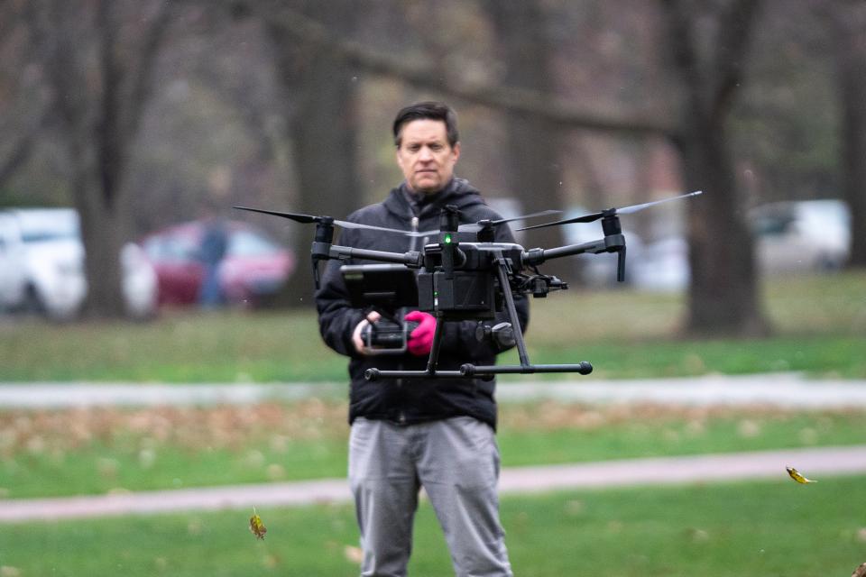
    As positions change and new members join the Facilities Information and Technology Services (FITS) team, we hear from three staff members about their new roles and what to know about them. David Martin was promoted to manager of data services for FITS after working as a data analyst for FITS since 2019. What are you most excited about in this new role? One of my primary responsibilities in my new...
    David Martin, Heather Shade, Stephen O'Daniel
  • Building Data, Walking Directions, Tree Inventory, More via GIS Maps

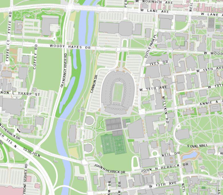
    The university’s geographic information system, also known as GIS, provides a variety of mapping data for the campus community, including building information, walking directions, the campus tree inventory and more. Faculty and staff may request a login via the GIS Service Request to gain access to view building floor plans. Contact Facilities Information and Technology Services for details or if...
    GIS map
  • In the News: Accessible FITS

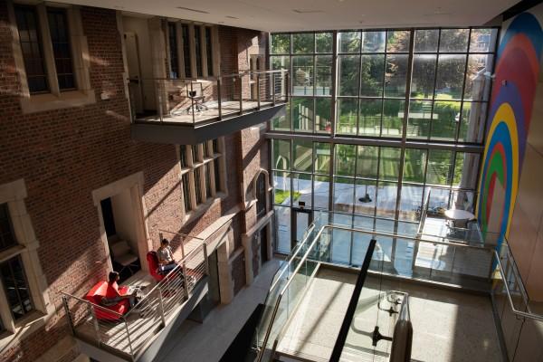
    With the tap of a button, users can now view accessible entrances and wellness spaces on the Columbus campus map via the Ohio State app . Thanks to the Office of Technology and Digital Innovation (OTDI) and Facilities Information and Technology Services (FITS), these new resources will help create a more accessible campus travel experience. Read full article.
    View of CBEC from the outside looking in

News Archive