
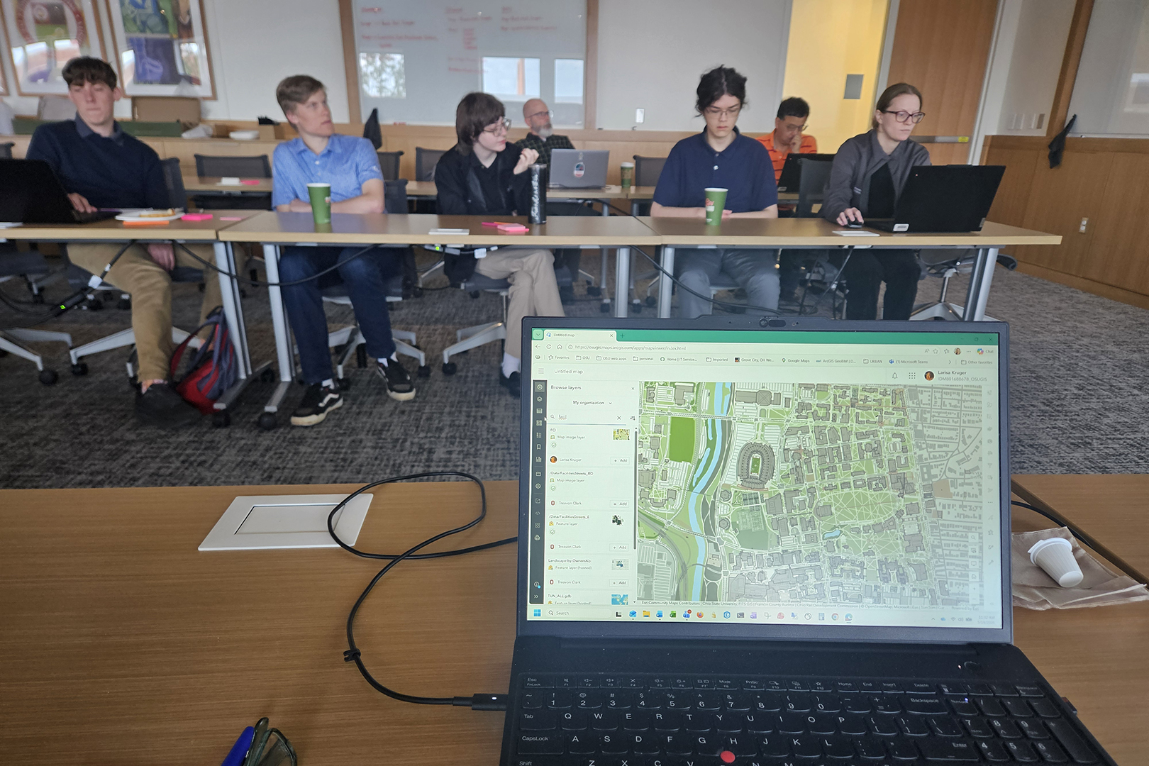
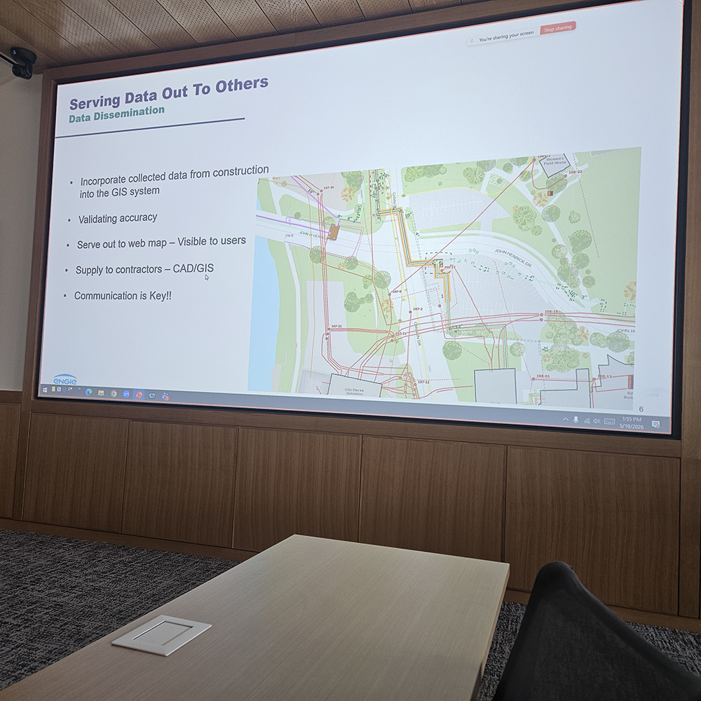
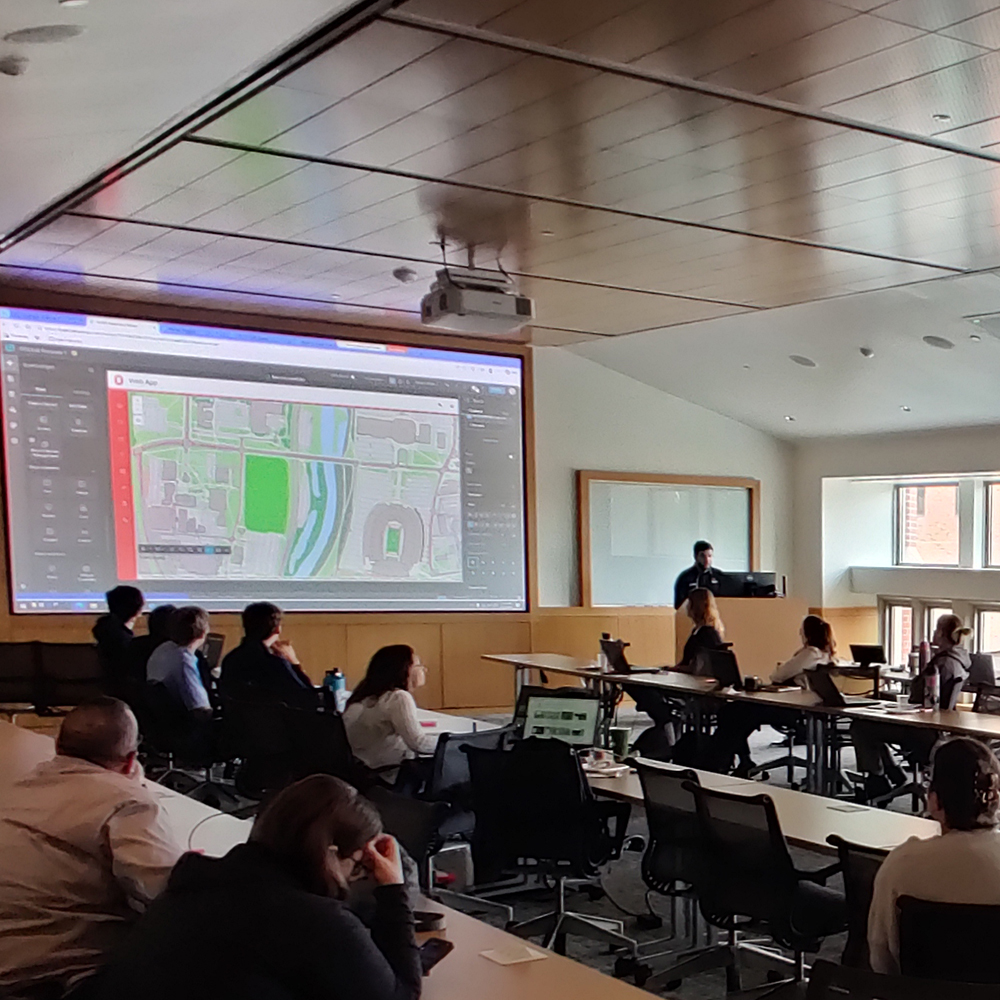
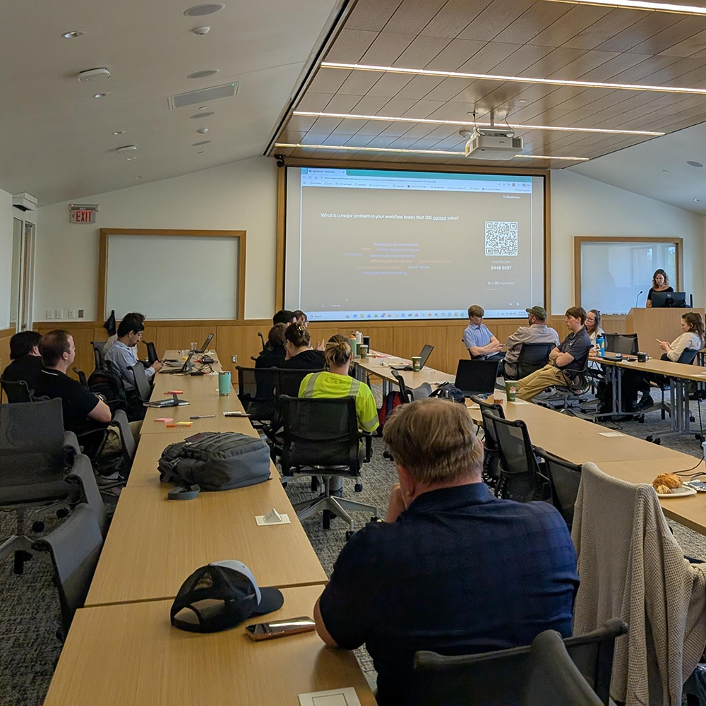
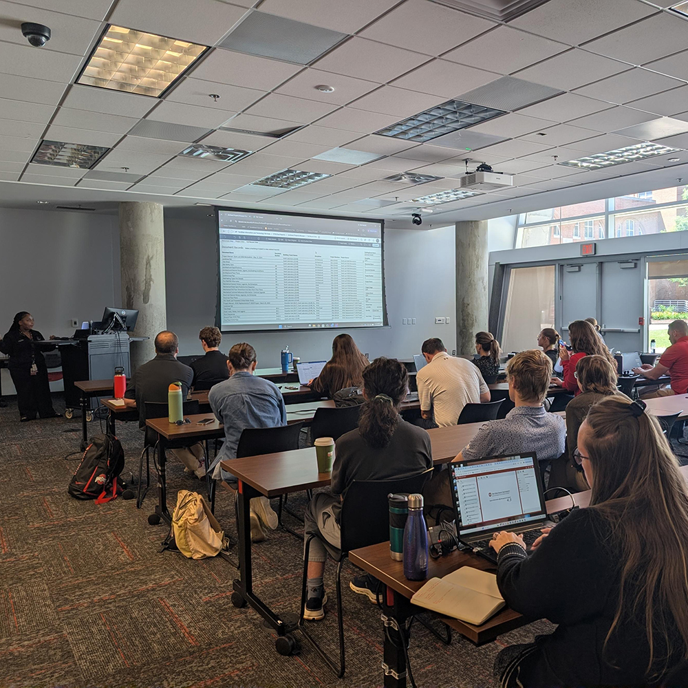
Across The Ohio State University, data plays a powerful role in how we plan, manage, and experience our spaces. Within Facilities Information and Technology Services (FITS), two groups in particular: Geographic Information System (GIS) and the Space Information and Management System (SIMS), are creating opportunities for collaboration, innovation, and shared learning through their user-focused events.
Larisa Kruger, Manager of GIS, and Heather Shade, Manager of SIMS, spoke about how these user sessions, held last month, are bringing people together and why you should consider attending.
Building Momentum and Community
Both GIS and SIMS have been growing their user engagement opportunities in recent years.
Larisa shared that the GIS User Summit is still relatively new, now in its second year, but already gaining traction as a space to connect people working with spatial data across campus.
Heather highlighted that the SIMS Space Data Managers User Group meetings have quickly become a recurring touchpoint, held twice a year since March 2024. These semi-annual sessions are a joint effort between FITS and Planning, Architecture and Real Estate (PARE), helping maintain strong engagement across teams.
Together, these efforts reflect a shared goal: build a stronger, more connected community of data users across the university.
“This Is for You,” Even If You Don’t Realize It Yet
One of the biggest misconceptions about these sessions? That they’re only for technical experts.
“You don’t need to know anything about GIS to attend,” Larisa emphasized. “If your work involves scheduling, room reservations, addresses, or anything tied to physical space, you’re already working with spatial data that we provide.
Heather echoed that inclusivity. SIMS meetings bring together space managers and data stewards from across colleges and units, all focused on communicating, maintaining, and analyzing facility data, but also learning from one another along the way.
“These sessions are not just informational,” she said. “They’re an opportunity to connect with others doing similar work and exchange ideas.”
A Two-Way Conversation
What makes these events stand out is that they’re not just presentations, they’re also conversations.
For GIS, Larisa explained that the summit is just as much about listening as it is about sharing. The team wants to better understand how departments are using spatial data, what challenges they face, and how GIS tools can evolve to meet those needs.
“We want people to know we have resources to help them do their jobs, but we also want to learn from them so we can build better solutions,” she said.
SIMS takes a similar approach. Heather described the meetings as a space to foster open dialogue, where users can provide feedback, suggest improvements, and even help shape future system updates.
“Some of the best ideas come directly from our users,” she noted. “These meetings give them a voice.”
Real-World Insights That Make an Impact
A highlight of both the GIS and SIMS sessions is the emphasis on real-world applications.
At the GIS User Summit, one standout moment came from a presentation by Ohio State Utilities on their use of LiDAR technology, demonstrating how highly detailed, 3D data can inform infrastructure decisions. For Larisa, it reinforced the value of hearing directly from campus partners.
“We’d love to see even more departments share how they’re using spatial data,” she said. “That’s where the most valuable learning happens.”
Similarly, SIMS meetings regularly feature user-led presentations. Heather highlighted an example at her session where Matt Boll, a space manager from the College of Arts and Sciences, demonstrated new workflows and Tableau dashboards designed to improve reporting and data visibility.
Matt discussed his new processes for keeping SIMS updated as well as reports he is creating and optimizing in Tableau. Attendees were especially interested in how Matt’s reports and dashboards can be easily used by all colleges and units across the university. Attendees also discussed prioritization of 360 image capture in SIMS, ways to search the Archived Projects repository more efficiently, and upcoming and desired changes in SIMS.
“There was a lot of excitement,” Heather added. “What made it especially valuable is knowing that the shared dashboards could be used by many other units.”
What’s Next: Continuing to Evolve
Both teams are continuing to invest in improvements that will benefit users across the university.
For GIS, that includes backend upgrades and enhancements to campus mapping tools, which will bring new functionality and efficiencies to users.
SIMS is also evolving, with upcoming updates to how building ownership and occupant cost centers are tracked, along with enhancements to the Space API which will introduce new ways to access location images and lease information.
These updates are directly informed by the feedback and conversations happening at user events, clearly making attendance even more impactful.
Why You Should Attend
Whether you're deeply involved in data management or just starting to explore how spatial or facility data intersects with your work, these sessions offer something valuable:
- Learn from real campus use cases
- Connect with peers across departments
- Share your ideas and influence future tools
- Discover resources that can make your work easier
As both Larisa and Heather emphasized, the value of these gatherings comes from the people in the room.
“These events are only as strong as the community behind them,” Heather said. And that community is growing.