News

  • Discover Campus in 3D – Register for Training

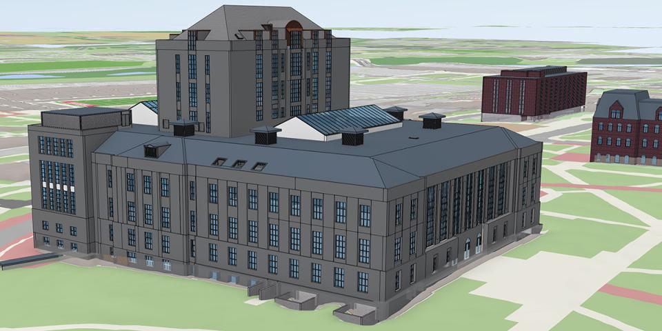
    Experience Ohio State in new ways through the new 3D Campus Explorer tool and upgraded GIS maps. Join our team for online training sessions on October 28 and 30 to explore powerful tools that bring campus to life. Learn how to interact with 3D building models and fly-through animations to floor plans and space data by cost center. University employees can register below. New 3D Campus Explorer...
    3D thompason library
  • Upgraded Campus Map Now Available

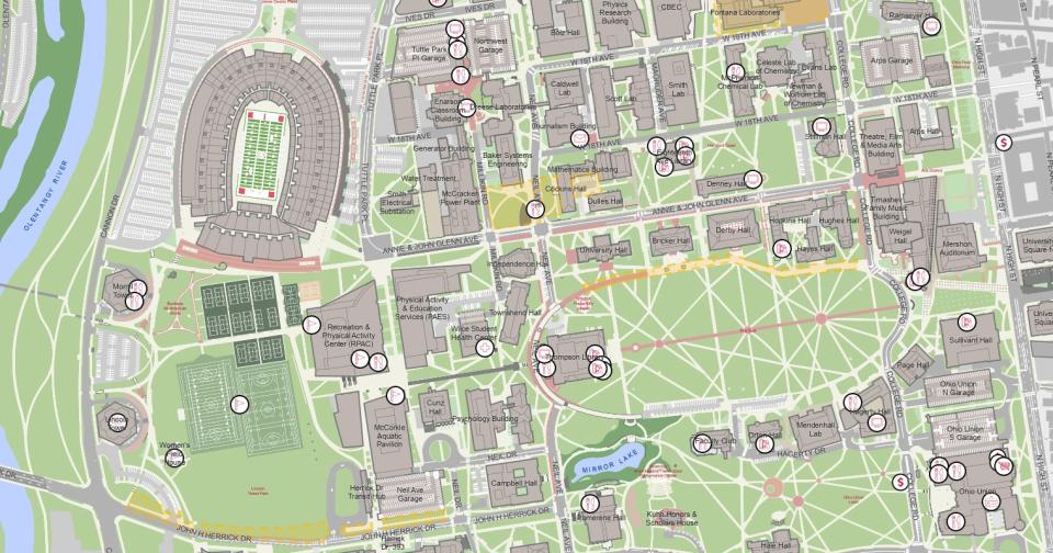
    Facilities Information and Technology Services (FITS) has launched an upgraded, desktop-optimized campus map for the Columbus campus and regional campuses. Map Features Include: List of departments in each building Illustrated and aerial map viewing options Searchability by building or building abbreviations Accessible entrance points to transit Step-by-step pedestrian directions Weekly updates...
    campus map
  • In the News: This Map Takes You to 1870 and Back Again and Again

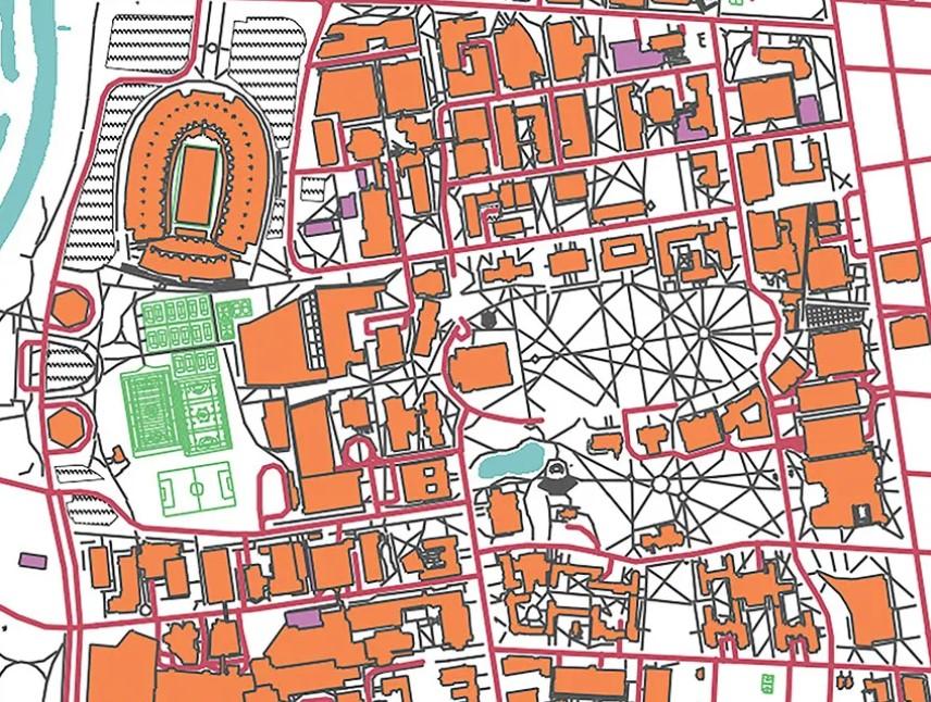
    Thanks to Aaron Kidwell, senior geographic information system analyst in Facilities Information and Technology Services (FITS), visitors can now see how campus shifted as Ohio State’s needs changed from agricultural college to postwar campus to today’s modern land-grant university. The map includes collections of photos, blueprints and old articles referencing different sites across campus. “I’ve...
    campus map
  • Now Hiring Multiple Student Positions for Summer

    Are you interested in architectural services, building information modeling (BIM), geographic information systems (GIS) or data analytics and reporting? Facilities Information and Technology Services (FITS) is now hiring multiple student positions for summer semester. We’ll provide you training! Enjoy hands on experience, a flexible work environment and a fun team atmosphere. Apply online for the...
    Person working on laptop with architectural rendering.

News Archive