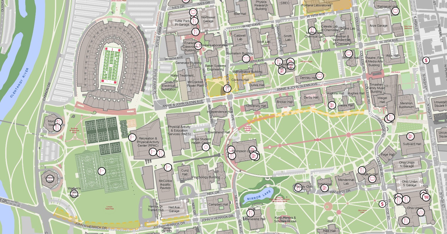
Facilities Information and Technology Services (FITS) has launched an upgraded, desktop-optimized campus map for the Columbus campus and regional campuses.
Map Features Include:
- List of departments in each building
- Illustrated and aerial map viewing options
- Searchability by building or building abbreviations
- Accessible entrance points to transit
- Step-by-step pedestrian directions
- Weekly updates that include permanent changes to building footprints, sidewalks and streets
Viewing on mobile? Access maps.osu.edu right from your phone / tablet or use the Ohio State app.
Have an idea for new map content? Email Facilities Information and Technology Services (FITS).