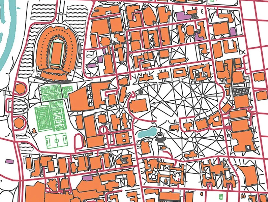
Thanks to Aaron Kidwell, senior geographic information system analyst in Facilities Information and Technology Services (FITS), visitors can now see how campus shifted as Ohio State’s needs changed from agricultural college to postwar campus to today’s modern land-grant university. The map includes collections of photos, blueprints and old articles referencing different sites across campus.
“I’ve always loved maps,” said Kidwell. “I wanted to bring campus history to life.”
Kidwell relied extensively on the work of John H. Herrick ’28, ’36 MA, ’44 PhD, director of campus planning into the late 1960s. For details like roads and sidewalks, he turned to Board of Trustees records, old maps and more.
“I would sit in the basement from 10 o’clock at night till 4 in the morning sometimes going through these things,” Kidwell recalls.