Overview
Any live access to GIS data is done through a REST API. In this document this will be called a "service".
Migration
There is a needed change for all services. (January 2024)
The old service format: "https://gismaps.osu.edu/arcgis/rest/services/{folder}/{service}/{MapServer OR FeatureServer}". Link
The new service format (change highlighted in bold): "https://gissvc.osu.edu/arcgis/rest/services/{folder}/{service}/{MapServer OR FeatureServer}". Link
All references to the old service format will cease to function and should be updated.
If a service is not available in the new format, please contact FITS.
Migration Example
- Person: "I use the GIS REST Endpoint for the historic map service"
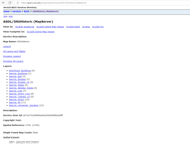
- Person: "The application I have uses the service URL 'https://gismaps.osu.edu/arcgis/rest/services/AGOL/OSUHistoric/MapServer'."
- Person: "I need to update this service to the new URL 'https://gissvc.osu.edu/arcgis/rest/services/AGOL/OSUHistoric/MapServer'."
Migration Tips
Viewing the URLS in the web browser should provide context on the data in the service. The services should be identical.
- Use find and replace. Try a "CRTL+F" for "gismaps.osu.edu/arcgis/rest" and a replace with "gissvc.osu.edu/arcgis/rest" in custom environments
- In ArcGIS Online, edit the URL in your items instead of fully replacing them in your webmaps.